Semiarid coastal regions, as the Southeastern of Spain in which the Segura River Basin is located, are expected to be more affected by climate change and the resulting aggravation of water scarcity, droughts and desertification than other regions. In this project the interactions between the economy and the hydrological system and the patterns of water availability, use and consumption by different users and economic sectors were quantified for the Segura River Basin by implementing the standardized SEEA-Water accounting framework. Overall, the ASSET project demonstrated which information and methods are required for setting up an accurate water resources balance and how this can contribute to a better river basin management.
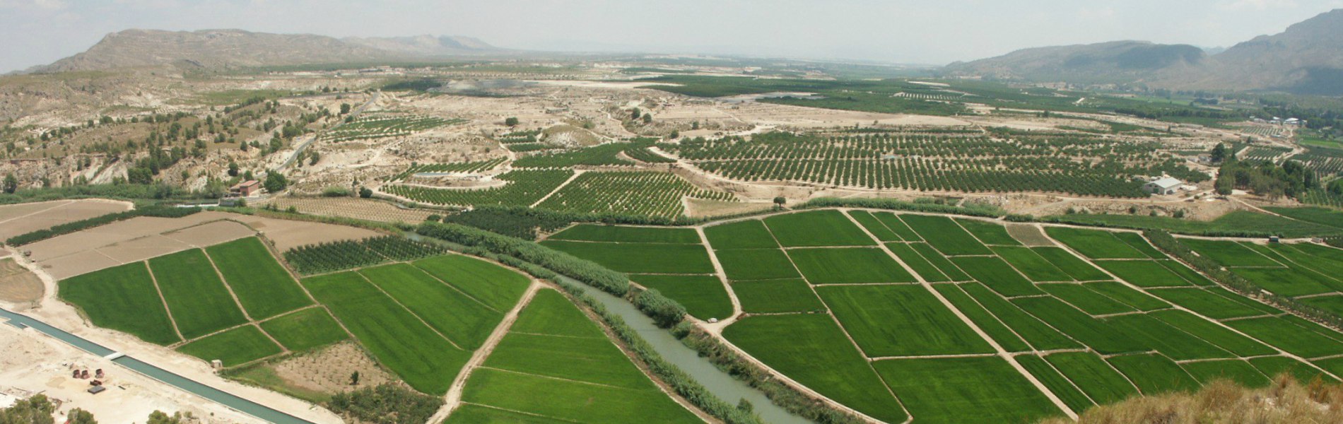
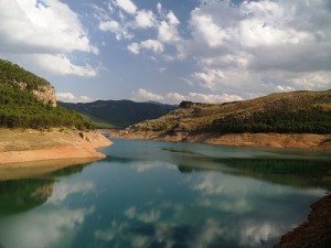
Most European countries are affected by the consequences of water scarcity, droughts and land degradation caused by water resources over-exploitation and exacerbated by climate change. Implications hereof are plenty, including changes in river flows and seasonality, land-use changes and extensive water withdrawals. Most probably water scarcity, droughts and desertification (e.g. the degradation of land in arid, semi-arid and dry sub-humid areas) will increase further, although some basins will be much more affected than others. One of these is the Segura River Basin in southeastern Spain.
Currently, there is broad consensus that urgent action is needed to promote water savings, exchanges of information and best practices on water scarcity & drought risk management. The majority of measures applied so far by the Member States of the EU target pressures, state and impacts and only very few measures target key drivers. Against this background, the European Commission decided to support various preparatory actions and pilots on the development of prevention activities to halt desertification in Europe, of which ASSET is one of the pilot projects.
Overall, the ASSET project will complement the EU water resources balance at the local scale and will demonstrate how the water resources balance contributes to a better river basin management. The specific objectives are:
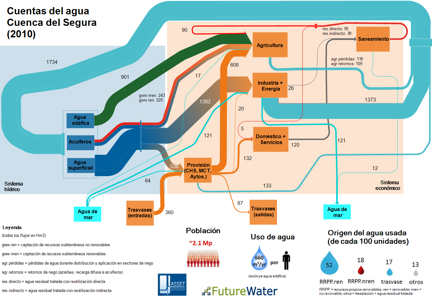
a) Collect and assess data on the physical water availability, interbasin transfers of water, and consumption rates by the different users and economic sectors in the Segura River Basin. The environmental and socioeconomic data collected will be presented according the standardized format of the System of Environmental-Economic Accounting for Water (SEEA-Water) developed by the United Nations and adopted by all the EU-member countries through their National Accounting Systems.
b) Test several innovative methodologies to improve the closure of the water balances at the sub-basin scale in order to increase the accuracy of the water accounts (Figure 1).
c) To integrate all the available data into the River Basin Management Plan through a Geographic Information System and the sharing of a protocol for the exchange, transfer and dissemination of information.
d) Identify and evaluate the effectiveness of a set of different management measures, including technological and economic, to reduce the vulnerability of the Segura River Basin and its socio-economic development against periods of water scarcity and severe drought, and against future scenarios of land use and climate change.
Links
Publicaciones relacionadas
2015 - FutureWater Report 138
 Contreras, S., J.E. Hunink. 2015. Water accounting at the basin scale: water use and supply (2000-2010) in the Segura River Basin using the SEEA framework. FutureWater Report 138.X
Water accounting at the basin scale: water use and supply (2000-2010) in the Segura River Basin using the SEEA framework
Contreras, S., J.E. Hunink