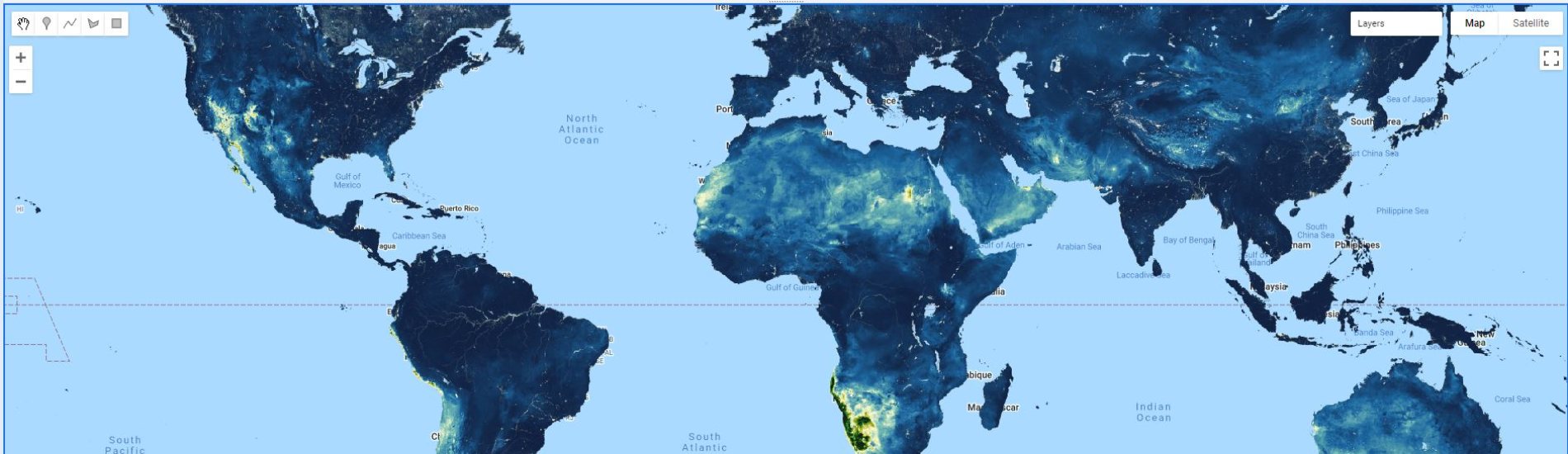
We are excited to announce that our high resolution dataset with global maps for Soil Hydraulic Properties HiHydroSoil v2.0 is now available on Google Earth Engine!
It’s made available through the github page «Awesome GEE Community Datasets» by Samapriya Roy. A sample code on how to access the HiHydroSoil v2.0 dataset in Google Earth Engine can be found here (Google Earth Engine account required).
The HiHydroSoil v2.0 database can also be downloaded from the FutureWater website using the form below. Interested in HiHydroSoil v.20? Read more on the project page!
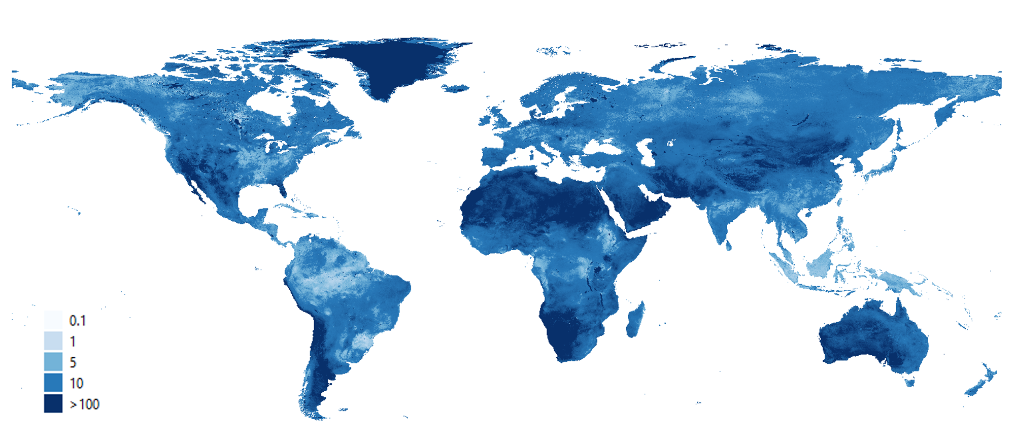
Soil information is the basis for all environmental studies. Since local soil maps of good quality are often not available, global soil maps with a low resolution are used. Furthermore, soil maps do not include information about soil hydraulic properties, which are of importance in, for example, hydrological modeling, erosion assessment and crop yield modelling. HiHydroSoil v2.0 can fill this data gap. HiHydroSoil v2.0 includes the following data:
- Organic Matter Content
- Soil Texture Class
- Saturated Hydraulic Conductivity
- Mualem van Genuchten parameters Alfa and N
- Saturated Water Content
- Residual Water Content
- Water content at pF2, pF3 and pF4.2
- Hydrologic Soil Group (USDA)
Important! To avoid lengthy download times, the data layers originally consisting of float data type were multiplied by a factor of 10,000, and subsequently converted to integer type. It is therefore required to translate the data to the proper units by multiplying with 0.0001. These steps are also described in the readme file delivered with the data.