Early July, Martijn de Klerk, flying sensor expert at FutureWater and Jan van Til, operational manager at HiView, gave a one-week training at Strathmore University in Nairobi, Kenya on the use of drones for agriculture. The course was part of the farm extension service ‘MapYourCrop’ developed by FutureWater, as part of the TWIGA project, with partners HiView, Hydrologic and UFZ Helmholtz.
The MapYourCrop service uses drones, or flying sensors, to collect crop information with an unprecedented level of detail and provide it to final users through an interactive portal. What makes MapYourCrop unique is that flying sensor data is enriched with detailed crop status information collected by the smartphone app called ‘VegMon’. After making the flying sensor crop stress maps, the VegMon app is used to zoom in to problem areas. Based on measurements, visual inspection, photographic evidence, and expert knowledge, the crop stress is identified and recorded with the app and a farm management advice is developed. The final advice is provided using the TWIGA platform. The farmer can choose to receive the advice in-person or electronically.
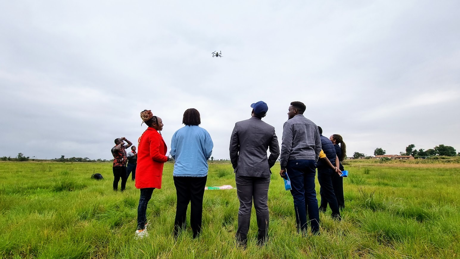
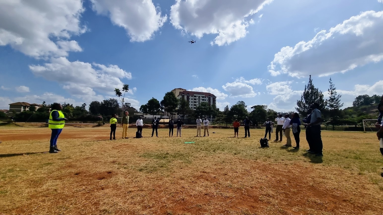
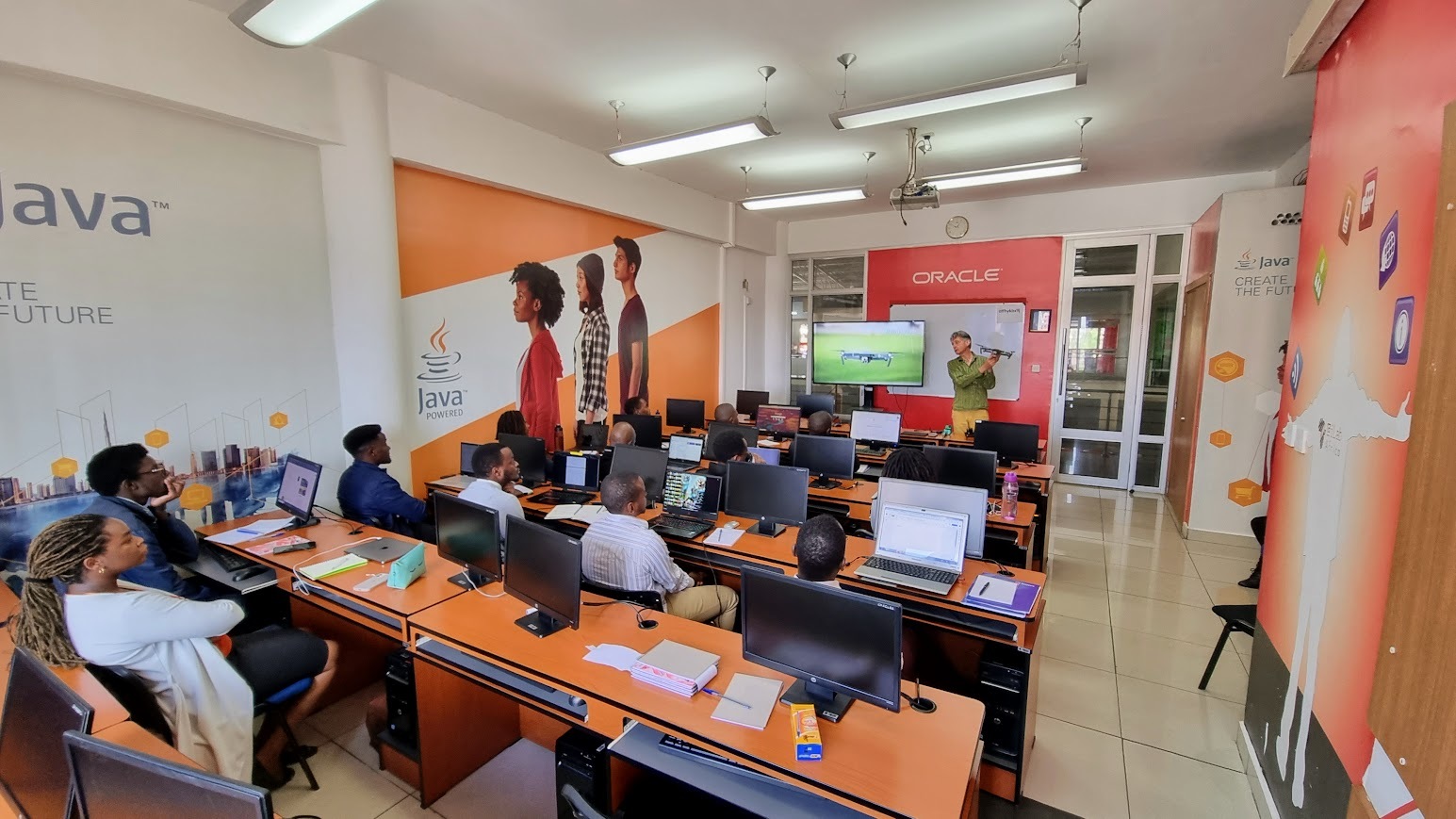
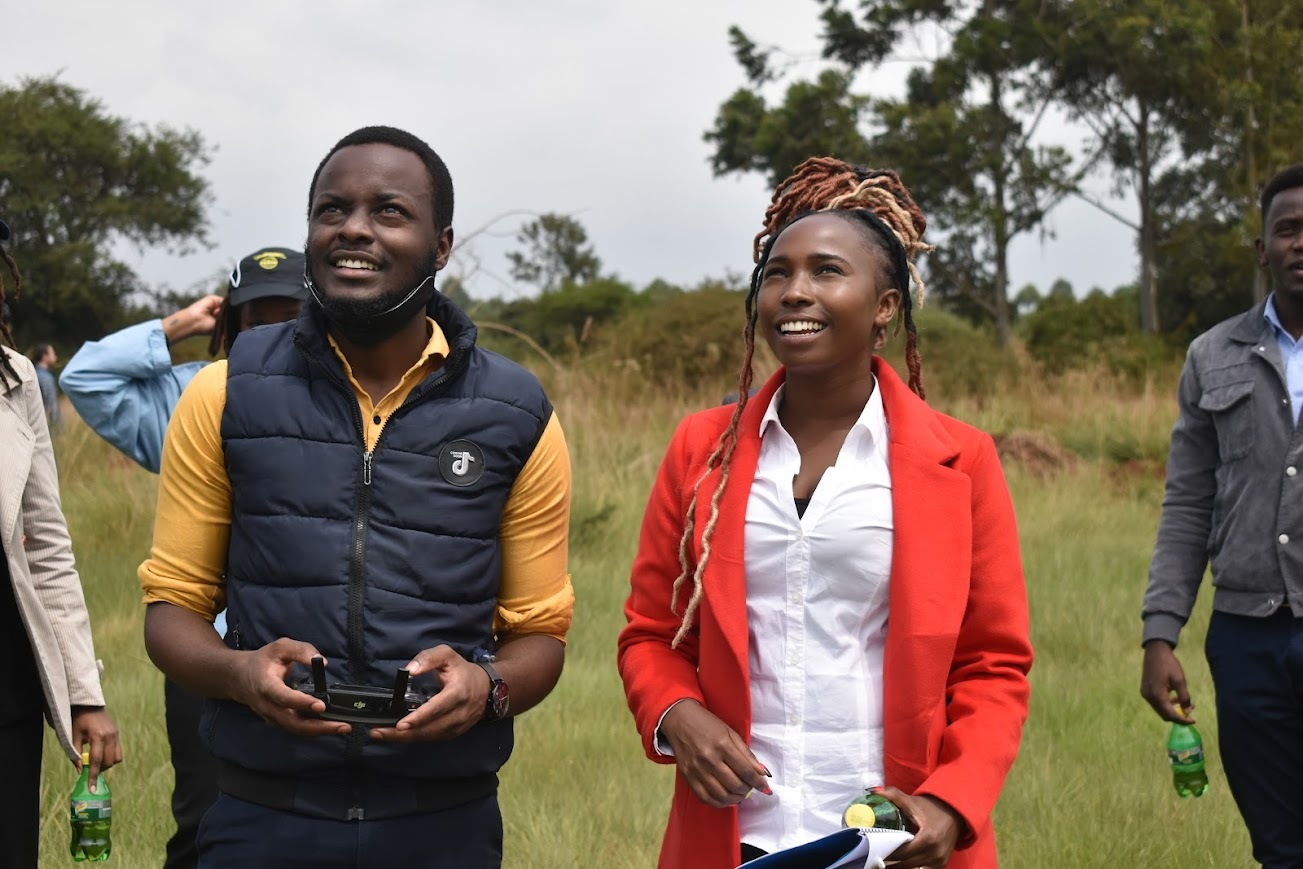
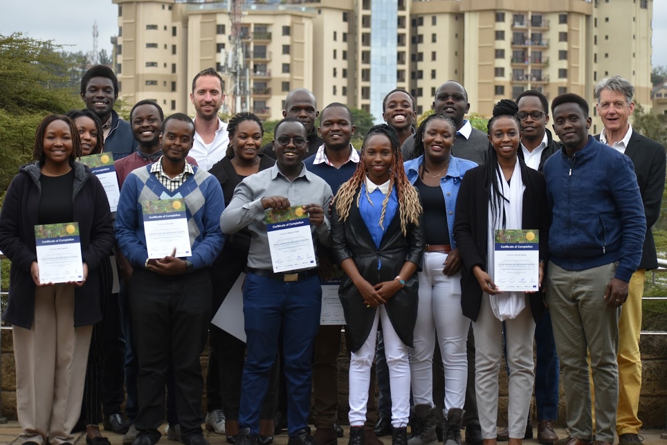
To ensure the sustainability of the ‘MapYourCrop’ service FutureWater and HiView organized a training week to transfer knowledge on using flying sensors in an agricultural context, to one of the African TWIGA partners: Strathmore University in Nairobi, Kenya. The interactive, physical training took place with a group of around 16 enthusiastic participants, from 4 to 8 July 2022 at the premises of Strathmore University..
The training focussed on the following aspects:
- Piloting skills: Safety management and controlling the drone in manual and automatic modes
- Image processing skills: Producing orthomosaics and crop stress maps and georeferencing
- Skills regarding tools for imagery viewing and reporting
- Knowledge about interpretation of the flying sensor imagery
The TWIGA project, which is funded by the European Commission, aims to provide actionable geo-information on weather, water, and climate in Africa through innovative combinations of new in situ sensors and satellite-based geo-da ta. With the foreseen new services, TWIGA expects to reach twelve million people within the four years of the project, based on sustainable business models.