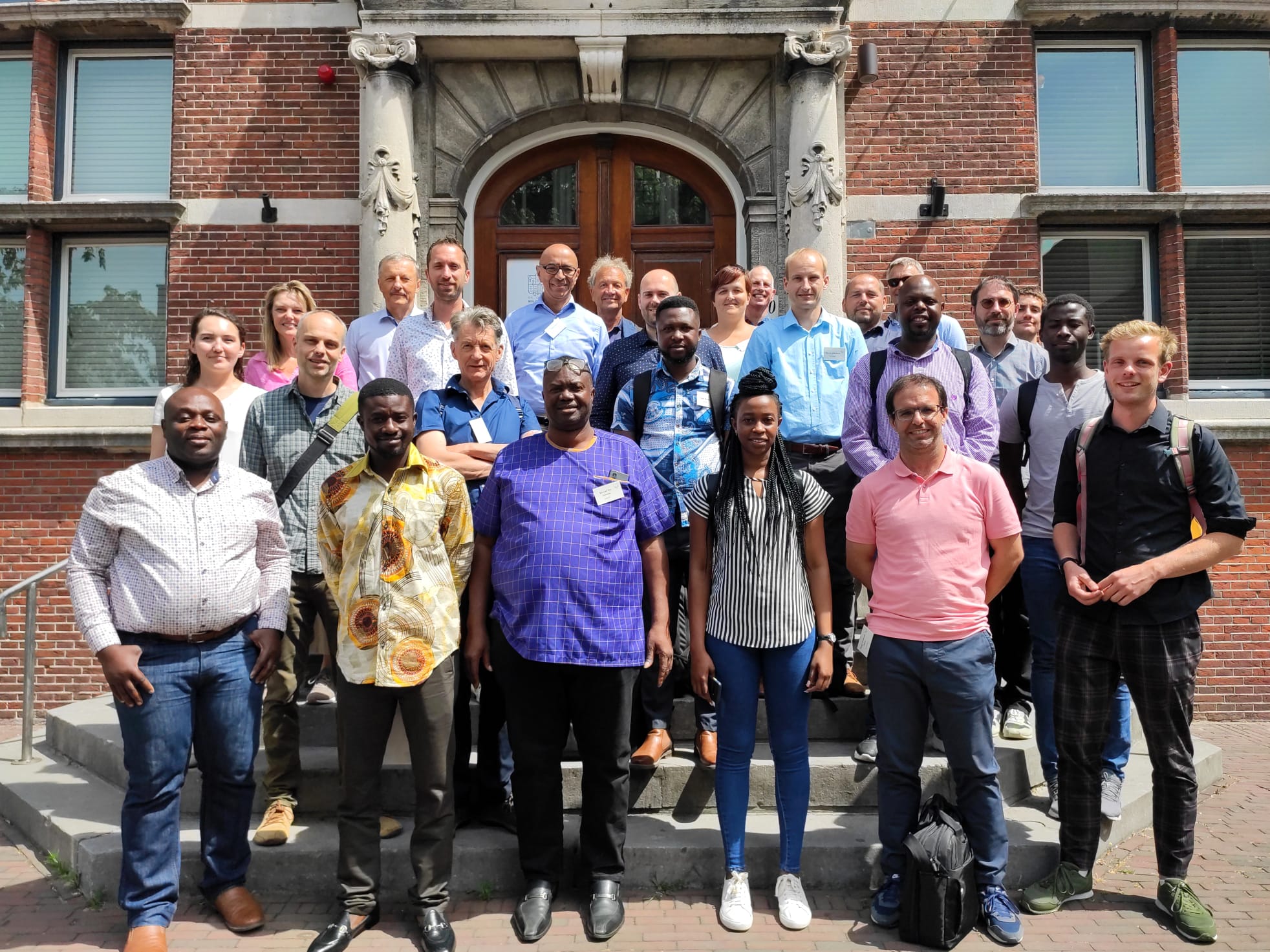
The TWIGA Final Conference was held on 11 and 12 July as a hybrid event in De Oude Bibliotheek in Delft, the Netherlands, and online. The event gathered on both days 27 participants present in person and 15 online, including consortium partners, representatives of two sister projects AfriCultuReS and e-Shape, Advisory Board members, and the EC Project Officer.
Over the past 4 years, the TWIGA project provided actionable geo-information on weather, water, and climate in Africa through innovative combinations of new in situ sensors and satellite-based geo-data. The TWIGA consortium comprised seven research organisations, nine SMEs and two government organisations. In addition it used a network of 500 ground weather stations in Africa, providing ready-to-use technical infrastructure.
The program was structured to present the results of the project per Work Package during the first day, which was an internal consortium meeting, and the demonstration of the TWIGA Services, the legacy of TWIGA, and the future opportunities during the second day, which was a public event.
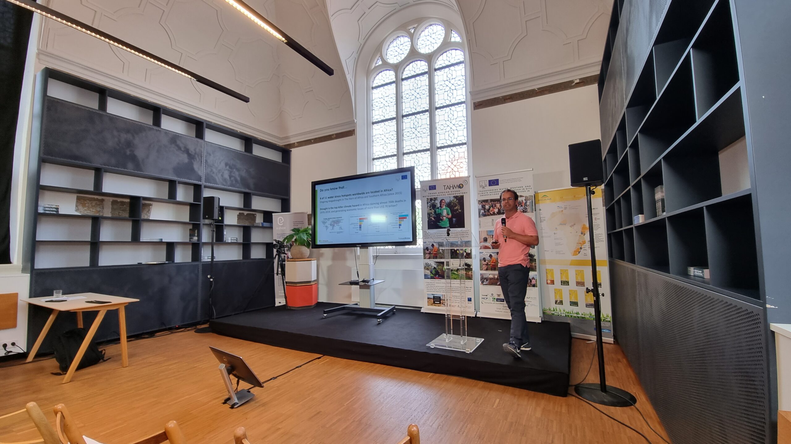
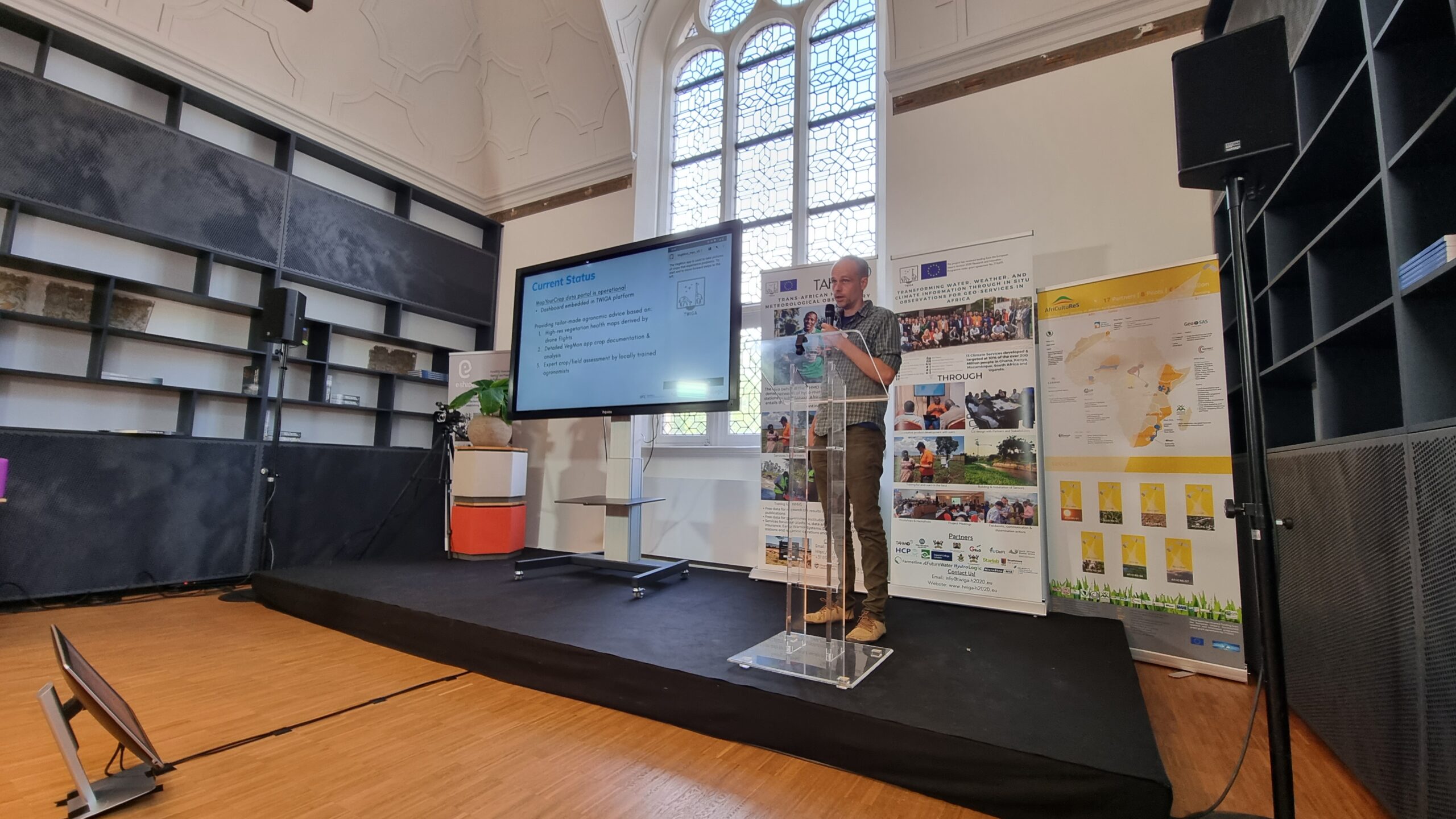
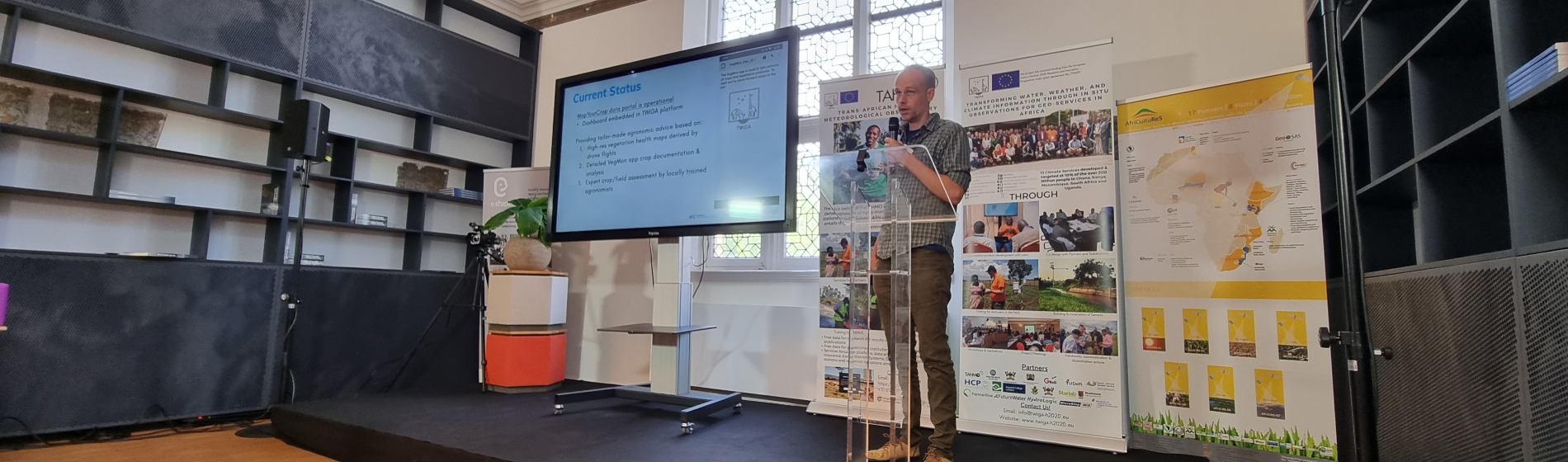
FutureWater team members Sergio Contreras, Corjan Nolet and Martijn de Klerk presented the successful development of the MapYourCrop drone service and InfoSequia drought early warning service. More information on the project can be found here.
TWIGA Aftermovie: