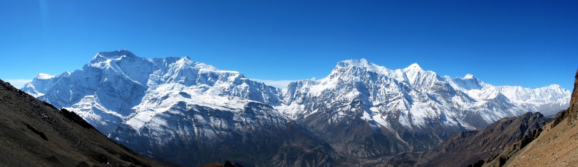
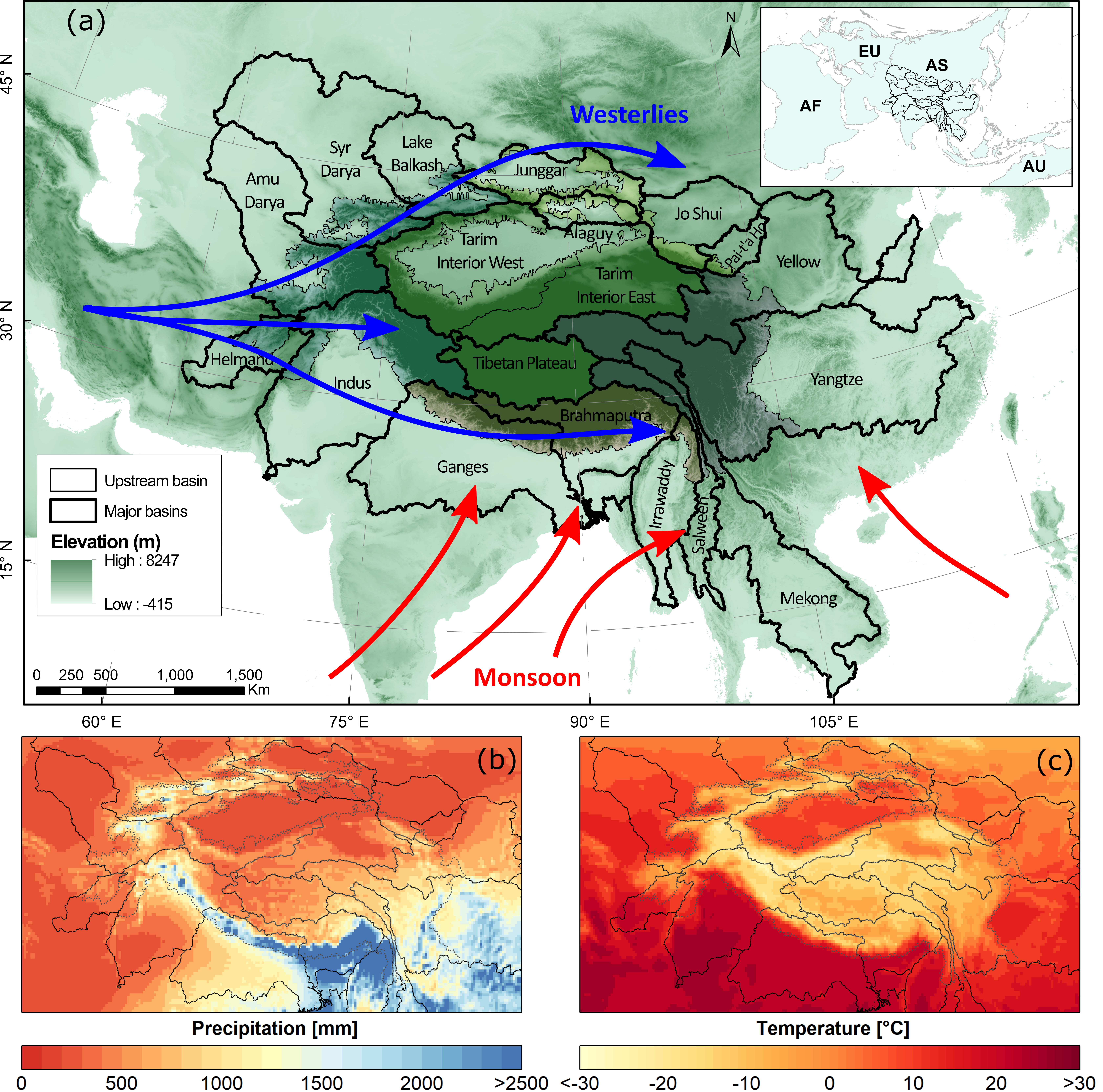
High Mountain Asia (HMA) serves as a major water source for large rivers in Asia. HMA consists of the Tibetan Plateau (TP), surrounded by the mountain ranges of Tien Shan, Pamir, Hindu Kush, and the Karakoram in the west, the Himalayas in the south and southeast, and Qilian Shan in the east. Over 1.4 billion people in various countries, including Afghanistan, Bangladesh, Bhutan, China, India, Kazakhstan, Kyrgyzstan, Mongolia, Myanmar, Nepal, Pakistan, and Tajikistan, depend on water originating from HMA.
The climate of High Mountain Asia (HMA) has changed in recent decades. While the temperature is consistently increasing at a higher rate than the global warming rate, precipitation changes are inconsistent, with substantial temporal and spatial variation. Climate warming will have enormous consequences for hydroclimatic extremes. For the higher altitudes of the HMA, which are a significant source of water for the large rivers in Asia, often trends are calculated using a limited number of in situ observations mainly observed in valleys. This study explores the changes in mean, extreme, and compound-extreme climate variables and their seasonality along the full altitudinal range in HMA using daily ERA5 reanalysis data (1979–2018).
Our analysis show that winter warming and summer wetting dominate the interior part of HMA. The results indicate a coherent significant increasing trend in the occurrence of heatwaves across all regions in HMA. The number of days with heavy precipitation shows more significant trends in southern and eastern basins than in other areas of HMA. The dry period occurrence shows a distinct demarcation between lower- and higher-altitude regions and is increasing for most basins. Although precipitation and temperature show variable tendencies, their compound occurrence is coherent in the monsoon-dominated basins. These changes in indicators of climatic extremes may imply substantial increases in the future occurrence of hazards such as floods, landslides, and droughts, which in turn impact economic production and infrastructure.
This work has been led by our employee Mr. Sonu Khanal under the PanTPE project. FutureWater has been working for the past 15 years in the region to address the issues related with water resources, cryosphere, and climate change.
For more information about the work please visit the following link.