Wildfire models, that can predict wildfire dispersion, play an important role in mitigating wildfires. In this project FutureWater developed a product that achieved a significant improvement in the spatial representation of environmental factors relevant to the wildfire model that is used in the Netherlands. The Wildfire component of the SVIPE product (Satellite-based Vegetation Information PackagE) contains dynamic map layers that can be used as model input. After a successful first phase, in which the technical and financial feasibility of SVIPE-W has been established, a second phase has now started in order to develop a full prototype. In this phase, the methodology will be fully automated and standardized, and by means of a fieldwork component the algorithms will be trained and validated in more detail. The end result of this project is a product that provides monthly spatially distributed information on fuel type, vegetation density, and moisture content in nature areas.
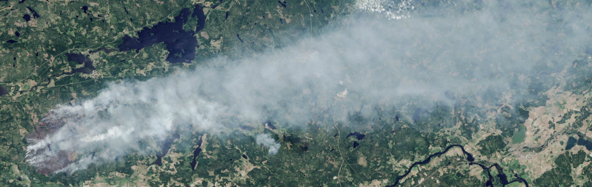
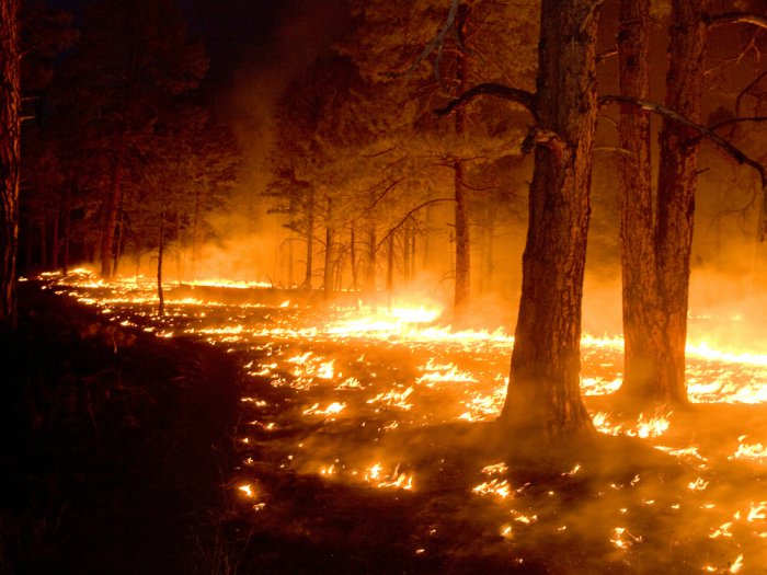
Several large wildfires have taken place in The Netherlands in recent years. Although the affected surface area is small in comparison to other countries, the societal risk is substantial due to the intensive use of natural areas for recreation, tourism, timber production, military practice, etc. In addition, high-risk vegetation is often located adjacent to highways, railway tracks, installations for drinking water supply and built-up area. The “Natuurbrandverspreidingsmodel” (NBVM) of the IFV plays an important role in mitigating wildfires. The model predicts the expansion of a wildfire through time and is used for risk analysis in a preliminary phase, as well as for decision support during the occurrence of a fire.
Despite the fact that the NBVM strongly depends on spatial information, currently only a topographical map is used as input in addition to weather predictions at the point scale. The project “Using satellite data for wildfire mitigation” will yield a product that achieves a significant improvement in the spatial representation of environmental factors relevant to the NBVM. The Wildfire component of the SVIPE product (Satellite-based Vegetation Information PackagE) will contain dynamic map layers that can be used as model input. Generic, up-to-date map layers of a large number of important parameters in the process of wildfire expansion will come available for all national parks in The Netherlands. Based on this information, it is foreseen that the performance of the NBVM will improve, both in terms of general risk analysis as well as simulating wildfire expansion. When both firefighters and managers of nature areas make use of this product, this will enhance cooperation in mitigating risks and mutual action at the time of fire hazards.
After a successful first phase, in which the technical and financial feasibility of SVIPE-W has been established, a second phase has now started in order to develop a full prototype. In this phase, the methodology will be fully automated and standardized, and by means of a fieldwork component the algorithms will be trained and validated in more detail. The end result of this project is a product that provides monthly spatially distributed information on fuel type, vegetation density, and moisture content in nature areas.
Publicaciones relacionadas
2016 - FutureWater Report 159
 Simons, G.W.H., F. Heuff, P. Droogers, F. Witte. 2016. Ontwikkeling en demonstratie van een prototype informatieproduct voor natuurbrandbeheersing (SVIPE-W). FutureWater Report 159.X
Ontwikkeling en demonstratie van een prototype informatieproduct voor natuurbrandbeheersing (SVIPE-W)
Simons, G.W.H., F. Heuff, P. Droogers, F. Witte
2016 - FutureWater Report 153
Simons, G.W.H., F. Witte, P. Droogers. 2016. Satellietdatagebruik bij natuurbrandbeheersing: haalbaarheidsstudie naar de ontwikkeling van SWIPE. FutureWater Report 153.XSatellietdatagebruik bij natuurbrandbeheersing: haalbaarheidsstudie naar de ontwikkeling van SWIPE
Simons, G.W.H., F. Witte, P. Droogers
