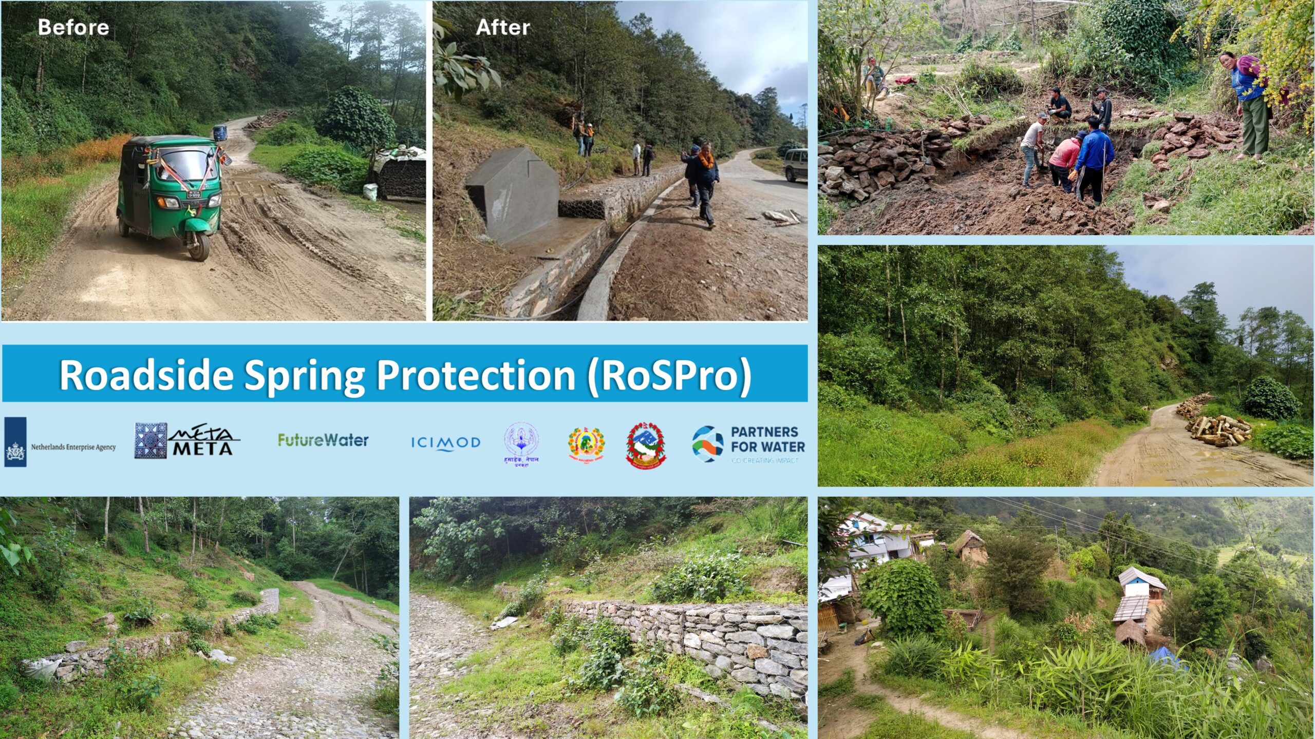
El proyecto BUCRA (Construyendo Unidad para una Agricultura Resiliente al Clima) se centra en mejorar la resiliencia agrícola en Qahbunah, una comunidad agrícola en el delta del Nilo en Egipto. Frente a desafíos como la escasez de agua, el cambio climático y la fragmentación de la tierra, los agricultores locales requieren enfoques innovadores para sostener sus medios de vida.
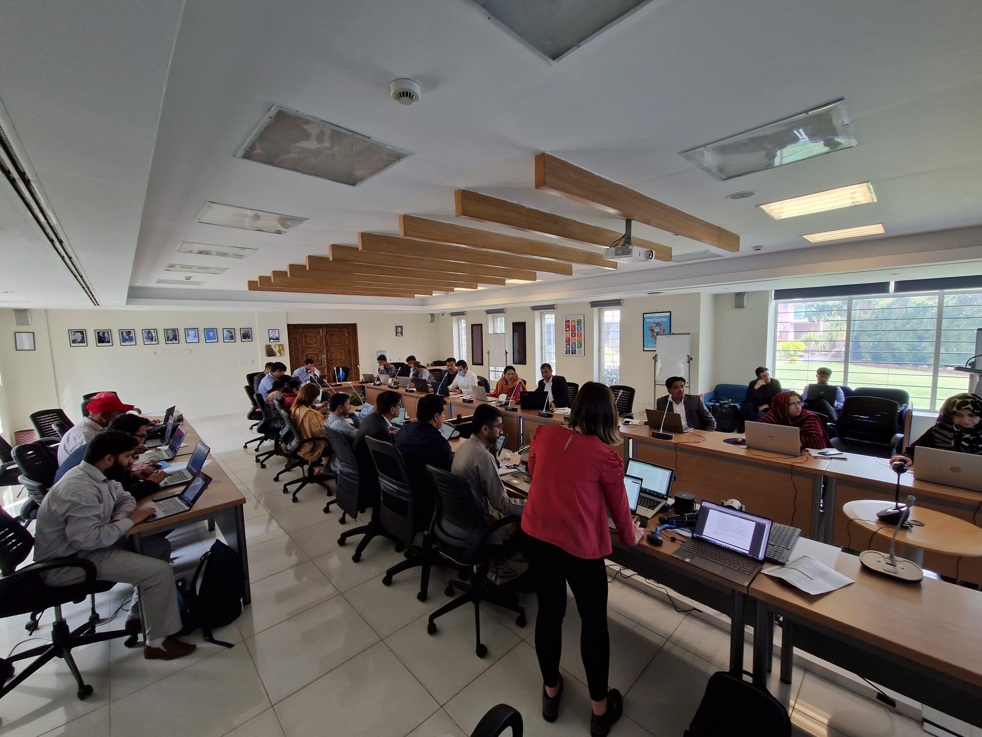
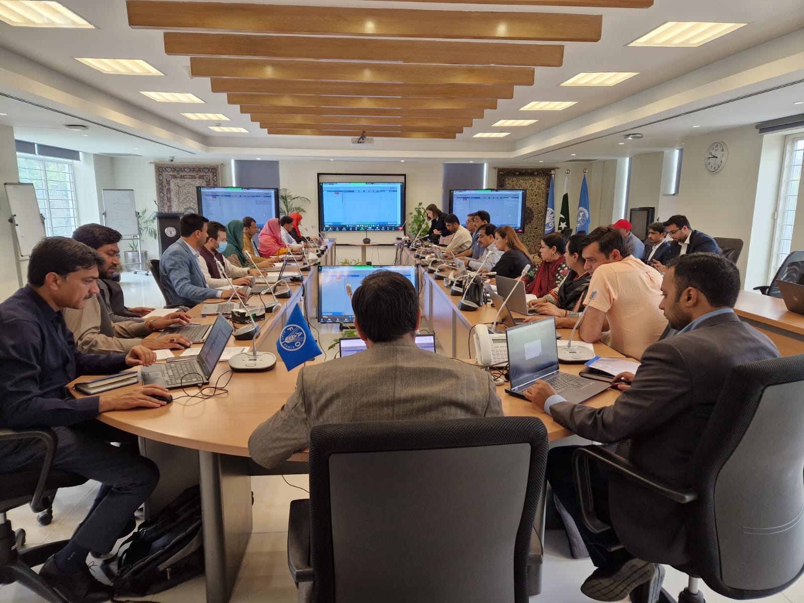
En el corazón de BUCRA se encuentran dos herramientas de vanguardia desarrolladas por FutureWater: Croptimal y SOSIA, que combinan tecnología avanzada con conocimientos locales para transformar las prácticas agrícolas tradicionales.
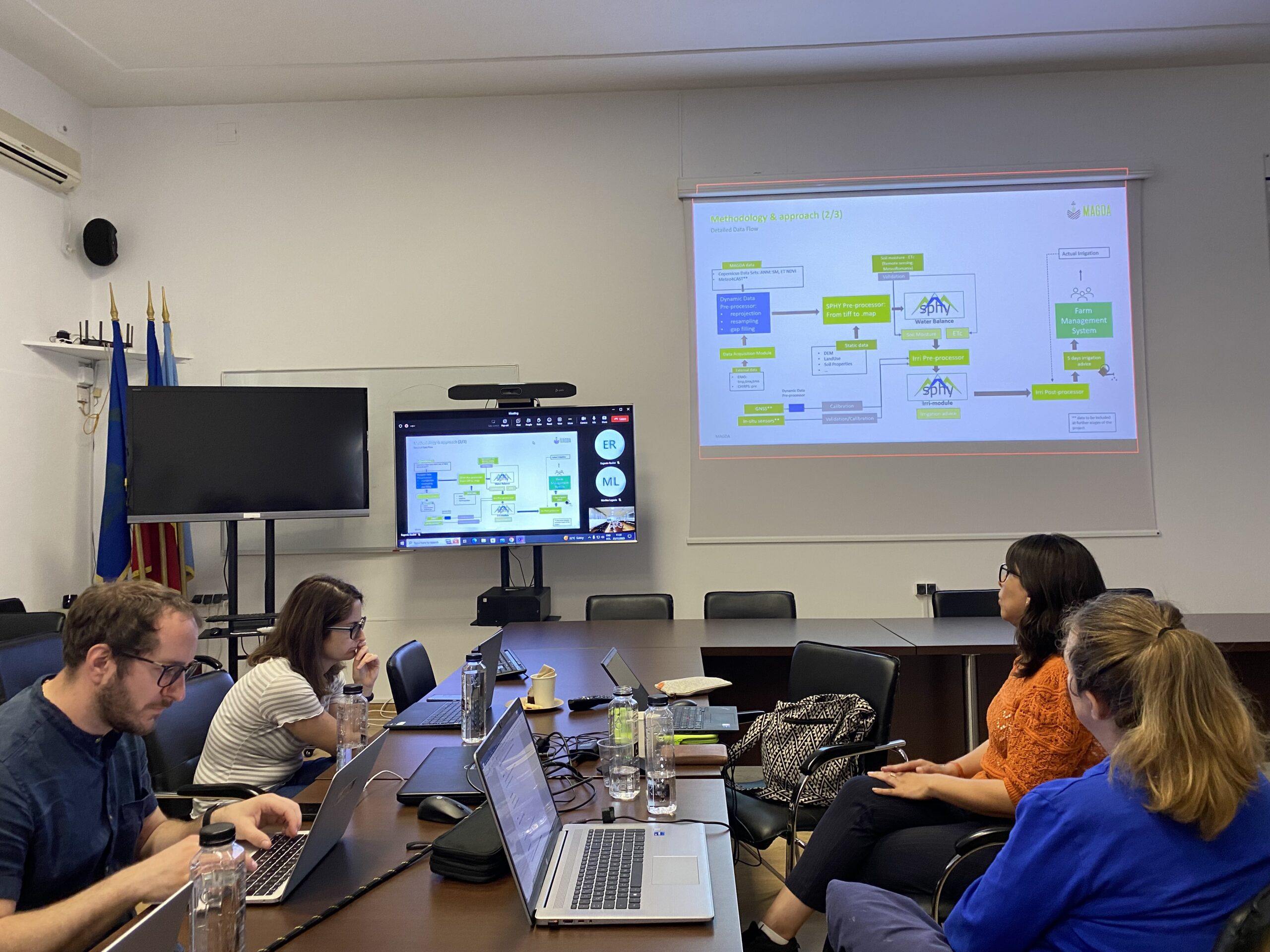
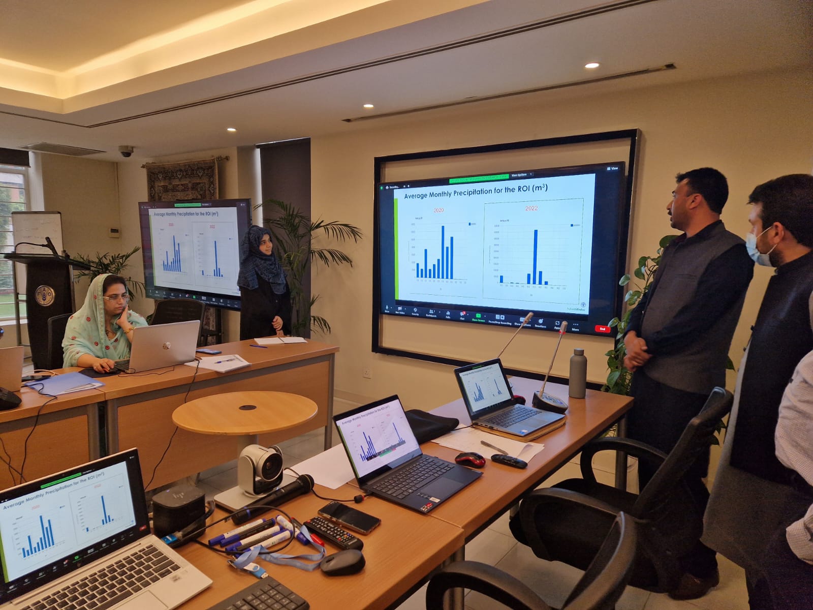
Croptimal es una herramienta de análisis de idoneidad climática que aprovecha proyecciones climáticas, datos geoespaciales y conocimientos agrícolas para evaluar la idoneidad de diversos cultivos bajo escenarios climáticos actuales y futuros. Al identificar áreas y cultivos que son más resilientes a factores climáticos adversos como el calor, la salinidad y la escasez de agua, Croptimal empodera a los agricultores con recomendaciones basadas en datos para optimizar la selección de cultivos y estrategias de siembra. Esta herramienta proporciona mapas altamente detallados y consejos prácticos, lo que permite a los agricultores adaptar sus prácticas a los desafíos del cambio climático mientras aumentan su productividad.
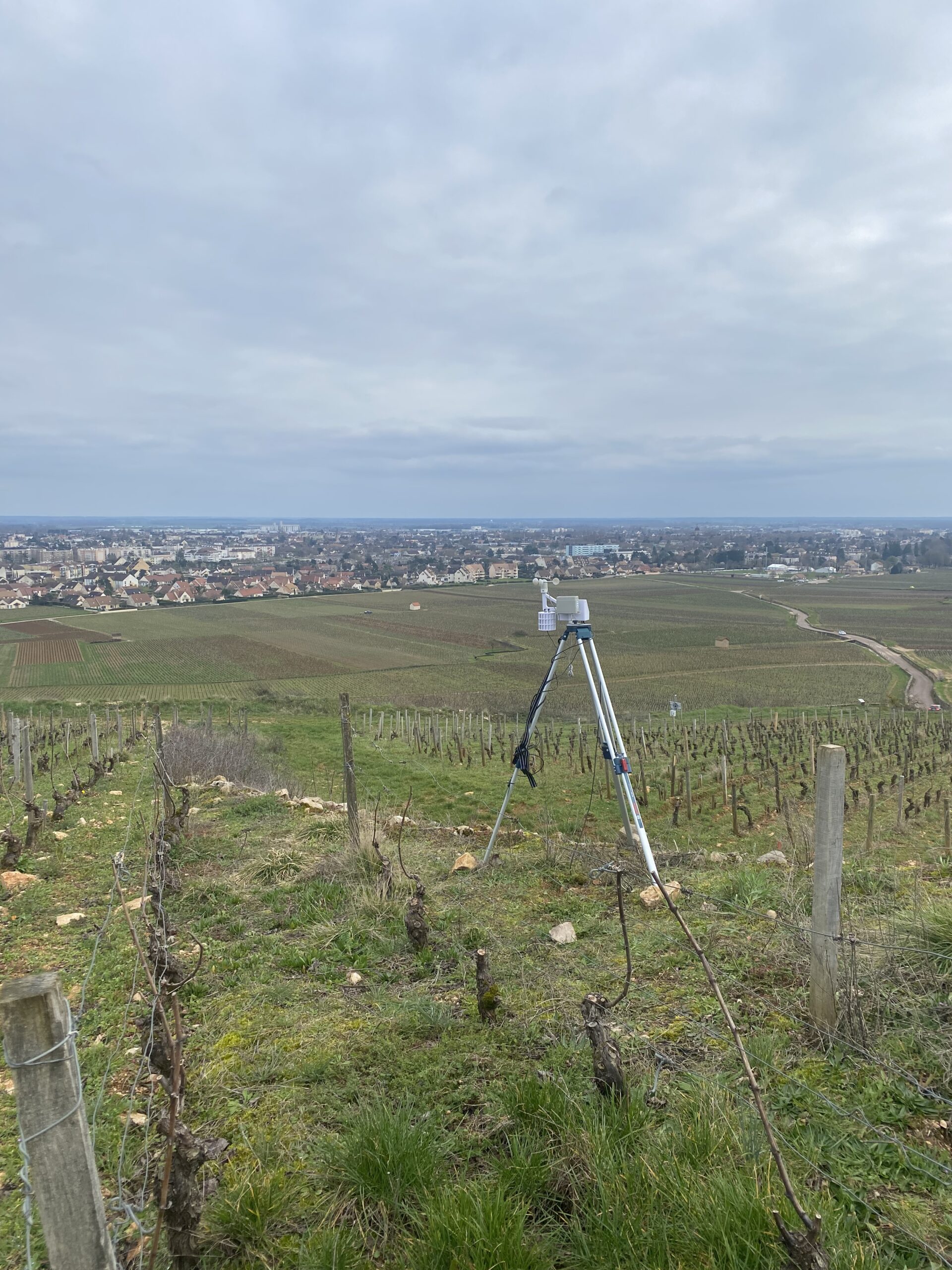
SOSIA (Asesoría de Riego de Código Abierto Basada en Satélites) es una herramienta de gestión del riego diseñada para mejorar la eficiencia en el uso del agua. Utiliza datos satelitales de código abierto, información meteorológica en tiempo real y condiciones locales del suelo para proporcionar recomendaciones diarias de riego precisas. Los agricultores reciben indicaciones a través de WhatsApp sobre cuánto tiempo regar sus cultivos cada día, lo que hace que el servicio sea accesible y rentable. Este enfoque innovador no solo reduce el consumo de agua, sino que también mejora los rendimientos de los cultivos y la eficiencia energética, abordando las crecientes presiones sobre los recursos hídricos en el delta del Nilo.
Además de estas herramientas, BUCRA incluye parcelas de demostración que exhiben técnicas inteligentes frente al clima, como el riego eficiente, la gestión del suelo y la rotación de cultivos. Los agricultores también participarán en un programa de aprendizaje combinado que integra capacitación práctica en campo con aplicaciones digitales fáciles de usar para mejorar sus habilidades técnicas y conocimientos.
BUCRA pone un fuerte énfasis en empoderar a la juventud y a las mujeres en la agricultura, fortalecer los vínculos con el mercado y promover prácticas sostenibles de uso del suelo. Al alinear la experiencia neerlandesa con las necesidades locales, el proyecto tiene como objetivo aumentar la productividad, estabilizar los ingresos y construir un futuro agrícola sostenible en Qahbunah.
La visión a largo plazo es inspirar una adopción más amplia de estas herramientas y prácticas, garantizando la seguridad alimentaria e hídrica en la región mientras se abordan los desafíos que plantea el cambio climático.